Connecting The Geospatial Ecosystem
Geo-Rolodex is a centralized platform to map, connect, and highlight organisations advancing geospatial work across sectors.
An Initiative By
Funded By

Comprehensive
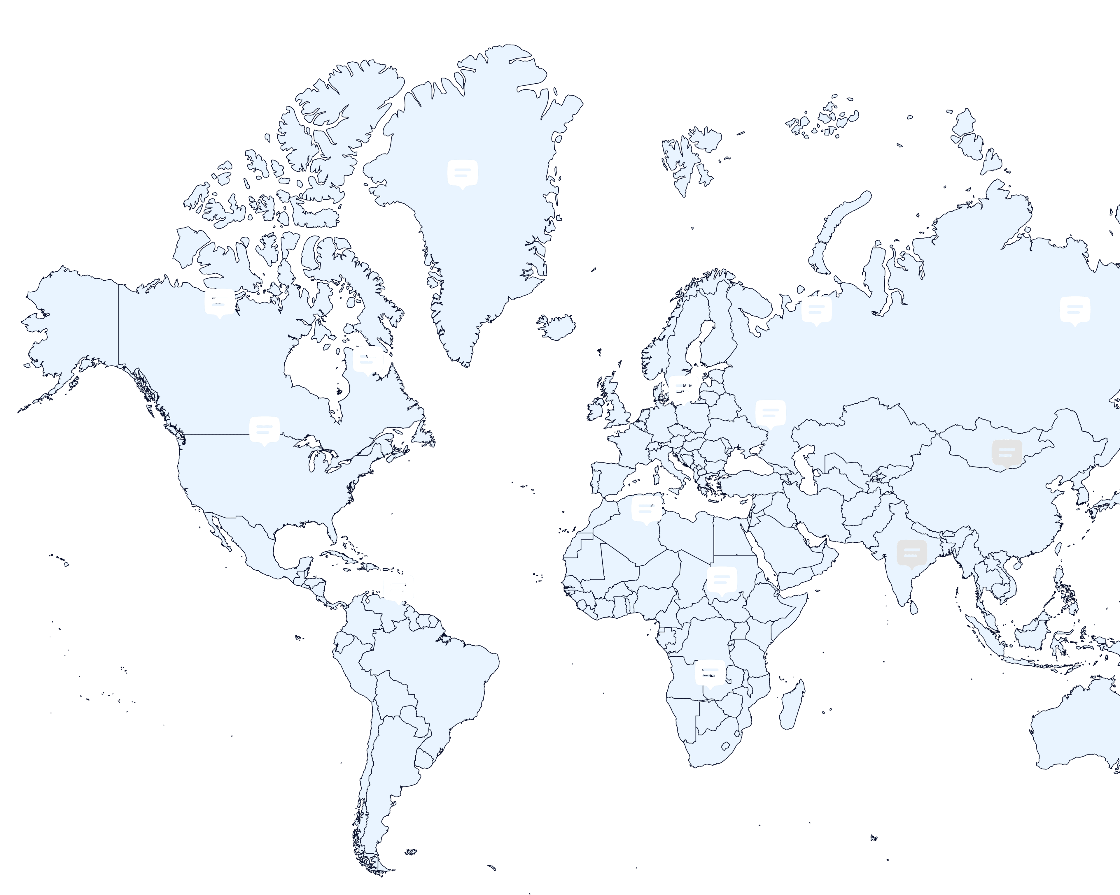
Geospatial Stakeholder Mapping
Innovative web-based solution
Designed for identifying, analyzing, and engaging key stakeholders across sectors including public health, agriculture, environmental management, energy, and public policy.
Directory and collaboration hub
Enhancing visibility and coordination within the geospatial community in low- and middle-income countries. By spotlighting who is active and where, Geo-Rolodex bridges communication gaps, surfaces innovative work, and facilitates strategic connections for funders, implementers, and policymakers.
Interactive mapping tools and verified data
Effectively connect you with experienced geospatial partners.

Addressing Critical Gaps in Geospatial Collaboration
In 2022, Dev-Afrique, in partnership with the Gates Foundation, conducted Value Pipeline Assessments in Nigeria and the Democratic Republic of Congo. The results showed that over 50 organizations were doing valuable geospatial work, but they were all working in silos.
Overlapping funding due to limited ecosystem visibility
Difficulty identifying complementary skills and partners
Fragmented knowledge sharing across regions and sectors
Geo-Rolodex was developed as a direct response: a central, validated platform that improves coordination,
reduces duplication, and promotes targeted collaboration.
Benefits of Joining Geo-Rolodex
Access advanced mapping tools for insightful landscape exploration
Be discoverable by funders, policymakers, and potential partners
Strengthen the geospatial ecosystem through collaboration
Join an exclusive, invitation-only professional network
Ensure accurate representation of your organization in a curated sector-wide directory
Gain visibility within the growing geospatial ecosystem across low- and middle-income countries
Gain eligibility for Umbrella Fund consideration (supporting health and development innovations)

500+
Stakeholder organizations primarily use geospatial technology for service delivery in low and middle-income countries.
600+
Documented historical projects across diverse sectors.
Start Simple
Easy and Efficient Validation Process. We have streamlined onboarding to save your time

Verify Basic Information
Confirm your organization's contact and location details


Update your focus
Validate your geospatial expertise areas


Share Use Cases
Highlight impactful projects
Platform Features
Interactive mapping
Easy navigation
Dynamic filters
Detailed organizational insights

Frequently Asked Questions
Everything you need to know about Geo-Rolodex.
Is Geo-Rolodex open access?
+Who can use Geo-Rolodex?
+Is Geo-Rolodex a paid service?
+Who is responsible for identifying and updating stakeholders on the platform?
+How secure is Geo-Rolodex?
+Join the Geospatial Movement Today
Geo-Rolodex exists to elevate your work and improve the entire ecosystem. By joining, you help ensure the geospatial future in LMICs is visible, connected, and collaborative.
Together, we are shaping the future of the geospatial sector in LMICs.